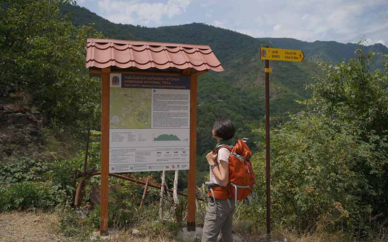

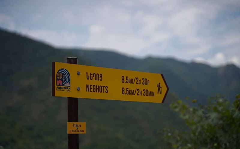
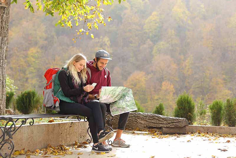
YEREVAN – HIKEArmenia unveils one of the country’s most ambitious long-term tourism and regional development initiatives: the Armenian National Trail (ANT), a nearly 1,000-kilometer village-to-village hiking route stretching across Armenia from north to south. Starting today, the newly launched Armenian National Trail website [https://www.armeniannationaltrail.org/], available in English and Armenian, gives hikers access to the first available trail sections in the Lori and Tavush regions, with maps, route information, insights, and practical tools to plan hikes across Armenia.
Developed by HIKEArmenia, funded by the H. Hovnanian Family Foundation, and strengthened through memorandums of understanding with the Tourism Committee of Armenia and the Ministry of Environment of the Republic of Armenia, the Armenian National Trail connects 109 towns and villages across five regions: Lori, Tavush, Gegharkunik, Vayots Dzor, and Syunik. The full trail is expected to be completed by the end of 2030.
Another big news is that the ANT has just been selected to be presented at the upcoming World Trails Conference in October 2026, where the global hiking community comes together to celebrate the power of trails to connect people, cultures, and landscapes.
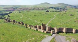
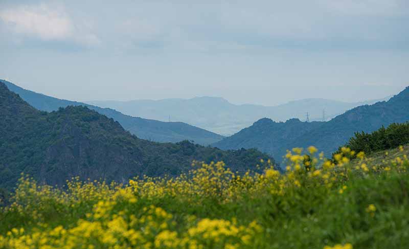
The trail begins in Akhtala in Lori Province, passes through Tavush, Gegharkunik, and Vayots Dzor, and concludes in Meghri, Syunik. Across nearly 1,000 kilometers, it will take hikers through forested areas, semi-steppe landscapes, rocky sections, river valleys, and the mountains of southern Armenia, showing much of the country’s natural diversity in one route.
“Hikers will be able to travel across Armenia while staying in local communities and carrying only a backpack with daily basics, thanks to the trail’s village-to-village design. The website will allow visitors to fully plan their route before they begin and prepare their entire journey in advance,” said Shahane Halajyan, Executive Director of HIKEArmenia.
Visitors will be able to explore routes in advance, access professional trail maps, download navigation data, identify accommodation and food options in communities along the route, receive updated information on trail conditions, and discover locally available experiences across different regions through the website.
In addition to its practical functions, the platform will feature interpretive content highlighting the natural environment encountered along the trail. The beauty of Armenia’s landscapes –its mountains, valleys, and ecological diversity – will be documented and explained through the website, allowing hikers to better understand and appreciate the natural surroundings as an integral part of their journey.
The trail is being developed not only as an outdoor recreation destination, but also as a platform for rural development and ecotourism. By bringing visitors into villages and small towns, ANT creates opportunities for local guesthouses, food providers, guides, artisans, transport services, and other small businesses.
By connecting communities through hiking, the project aims to support local entrepreneurship, create seasonal employment opportunities, and help the benefits of tourism reach more regions across the country.