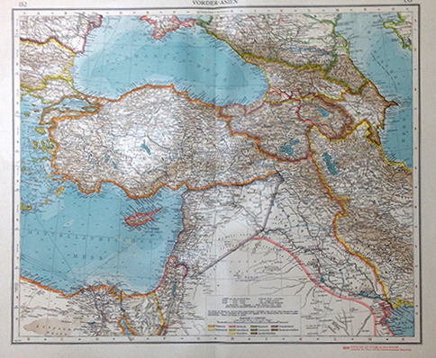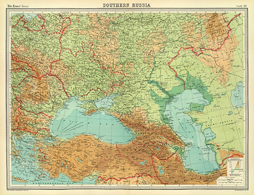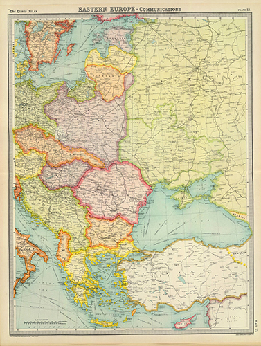
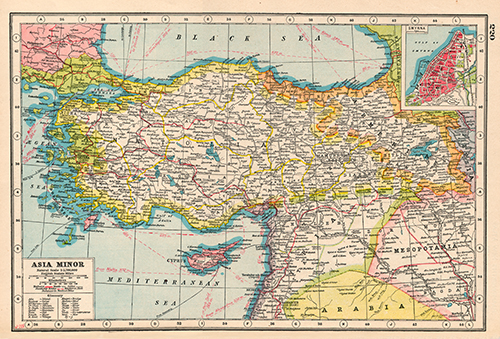

YEREVAN — The Armenian Genocide Museum-Institute (AGMI) collection has been enriched by new cartographic materials issued in the first half of the 1920s stated AGMI Press Service.
The American, British and German cartographic materials are of utmost interest because they include the borders of the already declared Republic of Turkey. Based on those maps the Eastern border of the Turkey coincided with the one defined in the Arbitrary Decision of US President Woodrow Wilson (1856-1924).
These cartographic materials are the best evidence that even after the sovietization of the Republic of Armenia and the declaration of the Republic of Turkey, the borderline between Armenia and Turkey was the one defined by the American President in November 1920, which was not amended or voided by any international agreement thereafter.